
COORDINATED AIRSPACE NETWORK
The Skyway
Flight needs structure between departure and destination.
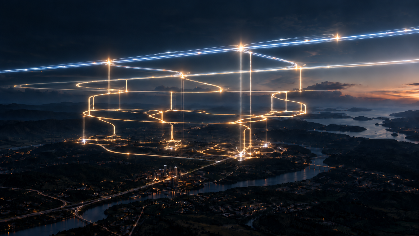
Ascerex is researching a vehicle-aware network of directed routes, altitude layers, transitions, and operating rules designed to make aerial movement computationally legible.
Enter the networkWhat the Skyway provides
A shared operating structure.
The Skyway is the operating logic between a requested journey and the aircraft that will perform it. As many vehicles with different capabilities share the same environment, it organizes their movement before autonomy has to solve every interaction alone.
A destination does not produce a straight line through open air. It produces a journey through a network whose corridors, layers, transitions, and rules reflect the distance being traveled, the vehicle's demonstrated capabilities, and the conditions that exist at that moment.
- Predictable movement
- Shared routes, direction, entries, exits, merges, and transitions give vehicles a common operating structure.
- Vehicle-aware access
- The network can distinguish between a path that exists and a path a particular aircraft can actually use.
- Alternatives under change
- Closures, restrictions, degraded capability, or changing conditions can alter the journey without erasing the underlying network.
Mapping & simulation
From destinations to a network that can be tested.
Skyway research starts with the travel problem, adds the constraints already present in the world, generates candidate network structures, and compares how those structures behave.
These are network links, not simultaneous directions for one vehicle.
- 01
Define the operating problem
Origins, destinations, travel distance, expected demand, and vehicle envelopes establish what the network must connect and support.
- 02
Build the constraint picture
Existing routes and airspace, terrain, obstacles, facilities, environmental considerations, and exclusions bound where candidate structures may be studied.
- 03
Generate candidate structures
Algorithms assemble corridors, direction, branches, merges, alternates, and altitude transitions without treating any generated layout as a selected design.
- 04
Compare operating hypotheses
Distance-based altitude, fixed layers, speed relationships, merge policies, resilience, and declared loads are tested as explicit alternatives.
Topology, explicit connections, exclusions, redundancy, corridor failures, declared loads, reproducibility, and bounded algorithm comparisons.
What comes laterAutomatic traffic assignment, time-based vehicle movement, representative density, live conditions, separation behavior, and integrated autonomy simulation.
One trip // Changing conditions
See the Skyway respond.
Follow a single synthetic journey as a route becomes unavailable and the vehicle's own limitations determine which alternative can still be considered.
The vehicle receives an available path.
The network connects departure to destination through a path available under the initial synthetic conditions.
Illustrative ConceptWhere development stands
A working foundation. An unfinished system.
Phase 1 is functioning as a synthetic software research environment, but the wider engineering and operational problem remains open. The program is organized by what exists now, what is being investigated, and what must come later.
- 01Foundation implemented
A network the software can trust
Versioned network records, strict validation, synthetic fixtures, restriction layers, deterministic generation, and paired visual artifacts now establish the Phase 1 software foundation.
- 02Current research
Which network structures hold up
Bounded studies compare backbone structures, altitude policies, merge behavior, alternates, corridor failures, declared loads, and algorithmic approaches without selecting a production design.
- 03Future development
From synthetic networks to operational evidence
Later work must qualify geography, vehicle capabilities, traffic, weather, separation, capacity, communications, autonomy, governance, and physical operating constraints before real-world conclusions are possible.
Current research artifact
The model stays consistent as conditions change.
The current prototype can create a versioned synthetic network, preserve its underlying structure while restrictions change, and produce consistent software and visual representations from the same data.
The terminal-neutral reference also demonstrates that the upper network can be studied without prematurely assuming where landing sites or access points must exist.
- Layers
- 03
- Nodes
- 09
- Directed edges
- 10
- Access nodes
- 00
Colored paths show alternative directed connections through the same synthetic network. The geometry and layers are arbitrary fixtures—not proposed routes or operating altitudes.
Next: Flight autonomy
The Skyway defines the routes. Autonomy handles the flight.
Within the Skyway's operating boundaries, the Pilot continuously controls and supervises the aircraft from departure through landing.
Explore flight autonomy